Mundijong Road and Jarrahdale Road are already designated as State Route 22, a transport corridor that extends from Rockingham to the Albany Highway. Connecting to the Albany Highway, and hence to the Great Southern Wheatbelt and the South Coast Region is central to the issue of traffic through Jarrahdale.
The Tonkin has been introduced into the situation, and it is pretty obvious that this will lead to increased traffic. We need to look honestly and openly at the situation to understand the impact this may have on our town and its locality.

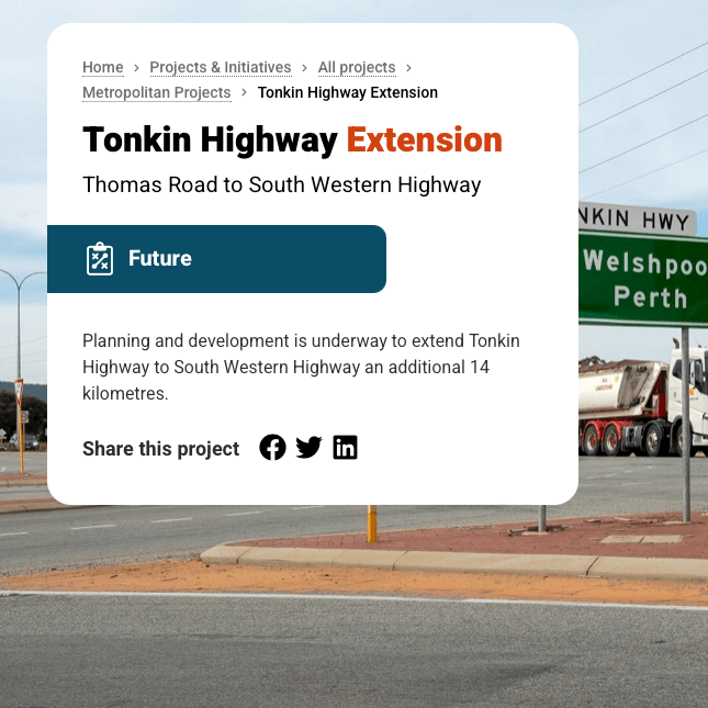
The extension of the Tonkin Highway is generally welcomed by the people. The area will benefit from having improved access north into Perth metro area. People will also find it more convenient to visit Jarrahdale, which helps make Jarrahdale, a destination. JF is not talking about stopping the Tonkin.
We have found that conversations about the southern extension of the Tonkin can lead to talk of further extension of the Tonkin south to Pinjarra sometime in the distant future. JF feels it’s an attempt to play down our concerns. Sources indicate the Tonkin will eventually go on past Jarrahdale and won’t be a problem. This argument then continues with assurances that the link to the
Albany Highway will be made from Keysbrook across to somewhere in the vicinity of North Bannister (Halfway House). It’s an attempt to kick the can down the road, and it’s a red herring.
If this further extension were to happen in the next couple of decades, the obvious thing to do now, would be terminate the Tonkin, for the time being, at Mundijong Road, as happened at Thomas Road in Byford. Then, when the time is right, keep extending towards Pinjarra, and branch off the Link at Keysbrook.
However, when looking at plans, this end of the Tonkin is being aligned and heads to the SW Highway, it is apparent that, for the long term, the Tonkin, or a major branch of it, is being directed towards the Albany Highway.
Early maps of the southern extension showed the Tonkin connecting directly to a re-aligned Jarrahdale Road just south of the Shell service station on the SW Highway. JF have downloaded a copy of one of those maps from the Shire website.
On that map, the Jarrahdale Road reserve is designated as a Primary Distributor Road. This is the same designation applied to the Tonkin Highway and the SW Highway road reserves.
The Tonkin may be extended towards Pinjarra in the long term, but the fact that they are proposing to spend a significant sum now on crossing Mundijong Road, crossing the valley south of Watkins Road and connecting to the SW Highway at the bottom of Jarrahdale Road – this all indicates that Main Roads intend to link the Tonkin and the Albany Highways.
This is quite rational planning on the part of Main Roads. If you look at a suitable map, on the right scale, the most cost effective way to connect the Great Southern and the South Coast Regions to the southeast corner of the metro area, is to go through the forest in the vicinity of Jarrahdale. The Albany Highway through Armadale, which has been the south east corner of the metro area for many decades, is going to become increasingly congested with everyday traffic.
In the long term, Mundijong Road is intended to be the southern extent of the Perth urban development. So in the long term Mundijong will be the south east corner of the urban development, as Armadale once was.
It’s predicted in approximately 5 years, the Tonkin, the SW Highway and Mundijong Road will all come together at the end of Jarrahdale Road. In its current condition and on its current alignment, Jarrahdale Road it will become a substitute for the Southern Link. The decision to make this a substitute for the Southern Link will rest with the motorists, not Local or State Government. Motorists don’t care what a road is called; if it’s in the right place for them, they will use it.
Another distraction presented to us is that of road trains and other Restricted Access Vehicles, which are commonly trucks over 19 metres long. The bigger vehicles have a greater impact of course, but single semis and all the smaller trucks are free to use Jarrahdale Road as they wish.
In terms of numbers, RAVs make up about 10% of the vehicle counts on highways such as the Albany and SW Highways. So with the extension of the Tonkin, Jarrahdale Raod in its current condition and on its current alignment will effectively be the Southern Link for about 90% of highway traffic to and from the Great Southern and the South Coast.
If we confront this issue now, we hope to have time to work out what the community wants to do, settle on a solution, and work to get it in place by the time the Tonkin Highway extension brings matters to a head.

